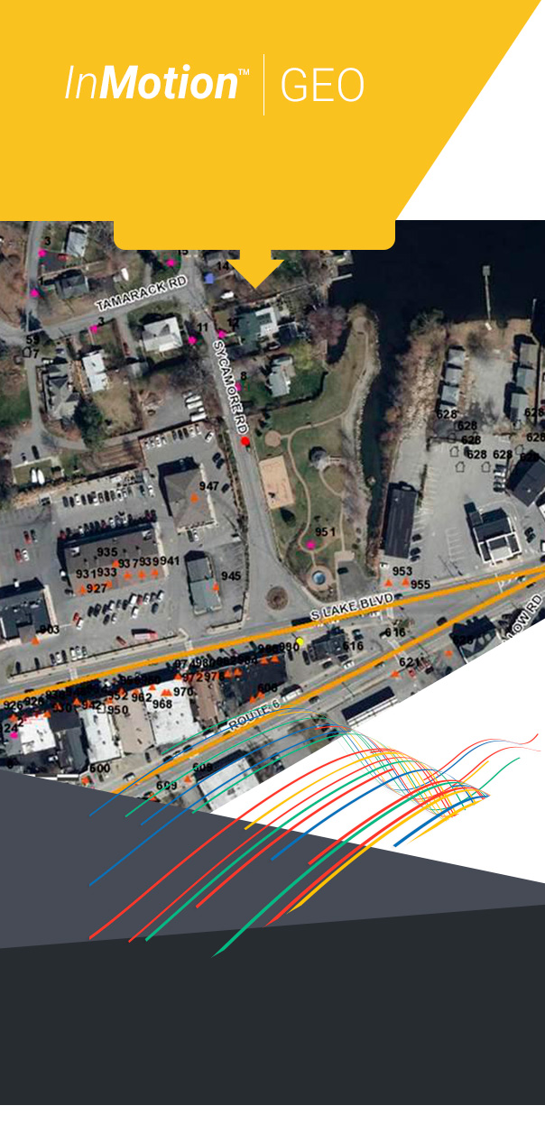

MobileTec’s InMotion™ GEO products provide an integrated geo data and mapping solution. As with all MobileTec™ products, InMotion™ GEO was designed with direct hands-on application and input from all levels of application / system users to address the varied requirements of map data and presentation to support and enhance departmental operations. InMotion™ GEO can be used as part of a complete InMotion™ product deployment (with InMotion™ CAD, InMotion™ RMS, InMotion™ MOBILE, etc.) for an automation solution, or interfaced to other systems/databases to support any agency’s requirements.
The GEO display products include the InMotion™ GEO In-Vehicle Map, the InMotion™ GEO Host Dispatch Display, the InMotion™ GEO Integrated Dispatch Mapping plus the InMotion™ GEO Data Analysis. The In-Vehicle and Dispatch products combine graphical map display features with AVL/GPS capability in order to track and display in real time GPS equipped vehicle movements plus live CAD events. The Data Analysis tool provides the same map data as a backdrop for the display and query of application data, whether that data is CAD events, RMS report data and so on... the analysis can be basic plotting of information integrated in to existing map layers or make use of the advanced analytical analysis engine available to determine and even predict real trends in data.
Proven results and benefits include improved personnel safety and real-time tracking capabilities, immediate access to vital geographic information (hazards, routing instructions, street closures, etc.), and increased overall efficiency (dispatch to closest unit, setup of perimeter road blocks, supervisory tool, etc.).
A note about data
InMotion™ GEO is based on the latest ESRI technology and uses ESRI data and associated files (e.g. aerial photographs, pictometry, etc.) to create the necessary displays and display content using the map data available within the agency, not necessarily within the police department etc. but within the planning department, assessors office... any area where GIS data may be available.
When considering sources of data, pay careful attention to the specific needs of Public Safety, as very few mapping applications provide GPS accurate data and fewer are capable of providing address/block ranges with corresponding cross street information and therefore intersection lists. InMotion™ GEO products utilize the ESRI data without special manipulation. During implementation, the existing map data is analyzed to ensure all the necessary data components and layers are available. In addition, MobileTec identifies the core data fields and attributes that will form the basis of the GeoFile tool that extracts map data and generates complete text based GEO data used by all InMotion products for such activities as address validation during data entry.


The suite of InMotion ™ products covers all the needs of the agencies that provide public safety services.
